Mountain & Hiking · Seoul
Bukhansan National Park Guide 2026: Baegundae Hike, How to Get There by Subway, Dulle-gil Trail
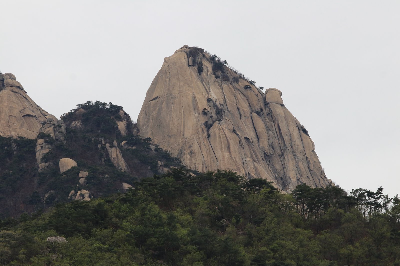

Choose the trail before choosing the transport: a Baegundae summit hike and a section of Dulle-gil require different starting points and effort. Allow time for descent and check closures before leaving Seoul.
The mountain itself
Baegundae, Insubong and Mangyeongdae form Bukhansan's recognisable granite peaks. Fortress gates, valleys and temples offer different reasons to visit; reaching a summit is only one choice. On the official map, follow your selected route through its named gates and junctions rather than using “Bukhansan” as a single navigation destination.
Seoul Hiking Tourism · official course map
The 9.98 km map example is a loop from the Seoul Hiking Tourism Center via Ui Valley, Harujae, the Yeongbong detour, Baegundae, Yongammun and Doseonsa. The 10.2 km Bukhansanseong–Daenammun route starts at Bukhansanseong Visitor Center and descends via Daenammun to Gugi Visitor Center: it is a point-to-point route, not a return to the starting gate. Both are rated difficult. Add breaks and queues to the map times, and arrange return transport from Gugi for the second route.
Planning your visit
Official map examples; allow extra time for breaks and conditions.
| Baegundae–Ui Valley · 백운대–우이구곡 | 9.98km · 4h20m · Difficult |
|---|---|
| Bukhansanseong–Daenammun · 북한산성–대남문 | 10.2km · 4h10m · Difficult |
Before you set off
Check the park's current trail closures and the weather before leaving. Carry water, food, suitable footwear and a charged phone; save the route map for use without reception. Set a turnaround time that leaves daylight for the descent. On steep rock and cable sections, keep space for other hikers and do not attempt a closed route. Arrange your return transport from the actual finishing trailhead.
For the Ui side, the official map places the Seoul Hiking Tourism Center at 52 Samyang-ro 173-gil, floor 5, about five minutes on foot from Bukhansan Ui Station exit 2 on the Ui–Sinseol line. This advice and equipment stop is not the summit or the Baegundae trailhead itself. Check current bus routes separately for the fortress and Gugi sides.
Check before you pay
Questions for planning this visit, not allegations against any business.
- Check how operator or weather cancellations differ from cancellation by you. A cancelled activity does not automatically refund separately booked trains or hotels. Keep a changeable return option.
- Secure the correct departure station and return service. For private transfers, record whether the quote is one-way or round-trip, passenger count, waiting charges and extra stops.
Show this Korean message to staff
취소 마감 시각과 수수료를 메시지로 알려 주세요.
Please message me the cancellation deadline and fee.
Unexpected charges or a cancelled booking? Free help guide →
Editorial prevention advice added: · Official help channels and sources
Map
Loading the map connects to NAVER. You can also use the external map link below.
Open in Naver Map Check your route and departure time in the map service before travelling.
Quick answers
Is Baegundae a casual walk?
No. There are steep rock and fixed-cable sections. Choose an exact official route and allow for descent, breaks, weather and queues instead of a universal four-hour round trip.
Can I choose a lower route?
Yes, but Dulle-gil sections differ in gradient and access. Compare the named section with your group's mobility; the Seoul Hiking Tourism Center can help with route and equipment-rental information.
Sources & data: Korea National Park Service · Bukhansan · Seoul Hiking Tourism · named routes, elevation and difficulty map
Schedules and prices can change; use the linked official notices for your travel date. Route choices and time allowances are editorial suggestions.
Leave time for the view—and the return trip.
Check the return journey from your hotel, your walking distance and the weather. Pick fewer stops on long travel days and prepare a rain or low-energy alternative.
A PAID SERVICE BY MEETORY
Turn your wish list into a day that works.
A PDF built around your accommodation, dates and preferred places: routes, meal options and booking guidance, maps and useful Korean phrases.
₩19,900Personalized guide / one language edition
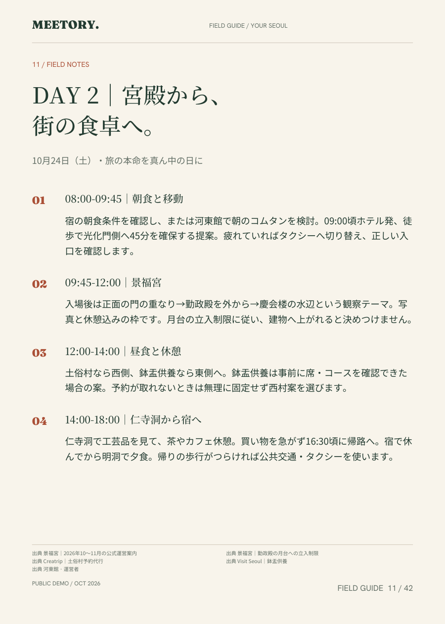 An actual page from the Japanese demo
The preview is a Japanese demo of a fictional Seoul trip. Ask about delivery in Japanese, English or Traditional Chinese. Availability, scope, delivery, revisions and the final total are confirmed before ordering. Tickets, accommodation and reservation services are excluded.